Throughout the trip my GPS, a Garmin Zumo 665, was logging a track. The image below shows the extent of the ride, from Lima, Peru, in the north to Patagonia, Argentina, in the south. To put the distance I rode into perspective, it is almost exactly like driving from Seattle to D.C., back to Seattle, then back to D.C. (except the roads were way more fun).
The entire 13,420 km (8,339 miles).
This is the 29 Curves section of the climb over Paso Los Libertadores, from Chile towards Peru, just north of Santiago, Chile. I was able to enjoy this tasty bit of asphalt on two occasions! Here is the raw footage for this section:
This section of road is between Nasca, Peru, and Abancay, Peru.
Coming down off the Altiplano in Peru, between Puna, Peru and Moquegua, Peru.
You can see that a lot of road miles does not necessarily mean a lot of distance covered!
I took a day to go for a guided trek with Tuomo and Anna. It was an amazing day with about 6 hours of hiking, swimming on the edge of a 150m drop (almost 500 ft) and to cap it off a very close view of a condor. Enjoy the pics!
Upper Maule Falls and environs.
Frank, the guide, and a VERY CLOSE condor.
Someone shouted "Condor!" I had my camera in hand. and just worked on getting it focused!
Small swimming hole, big drop.
The swimming hole is at the top of the right most triple waterfall.
I tried to add a bunch of photographs but the hotel connection takes about 45 min per photo and I have to sit in the lobby.
The ride to Chile from Argentina was inadvertent. The intended road was a dirt track right before customs. Oh well, the pass was nice and a single lane dirt road with big exposures and not guard rails with a front tire that looks like a racing slick was intimidating to say the least.
Falls at Salto Del Laja, Chile
On the road between Argentina and Chile, scenery by Dr. Suesse.
Today I'm off to meet two friends from Finland I met in the Atacama.
When you think you can trust someone to watch your back, you feel good.
When you find that that person took concrete steps (no prevaricating, requesting the information necessary to screw someone when you said everything was good is concrete) to leave you high and dry you realize that you were wrong about them and you move on, but you feel bad.
I am fortunate to have many good friends. I wish they were here. The beauty of the internet is that even though they aren't here they can offer support.
Typical switchbacky dirt road in the foothills of the Andes.
Like Disneyland with dirt.
Got a grader? Make a road!
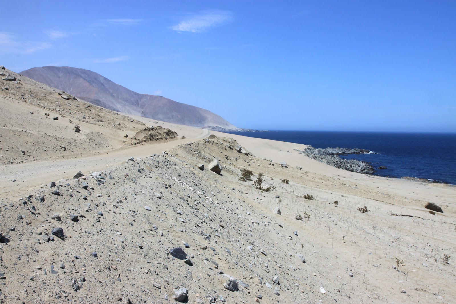
Scenic spot for a tire change on the Pacific coast north of Taltal, Chile.
In blogs about motorcycle adventures you will almost always find a photo of the sad street riders who don't like the dirt displaying their joy (and off-road incompetence) with a photo of them kissing asphalt. I can understand why, of all the BMWs we have seen on this trip exactly 3 have gone any distance off road and two of those had failed suspensions because of it. We have done hundreds of miles in the dirt, from high altitude to sea level, in rocky, sandy,washboard, mud and water, and had nothing but great fun!
Winding along the coast north of Taltal, Chile.
Our friends in San Pedro de Atacama. They were the best part of the town.
A giant beautiful playground!
A dirt road north of San Pedro de Atacama, Chile.
Just west of San Pedro de Atacama, Chile.
Valle de la Luna, near San Pedro de Atacama, overrated and overrun with tourists.
Your typical Chileno cannot understand how Jim and I would take 7.5 hours to make a 4 hr drive on purpose by taking twisty dirt switchbacks. The riders among you will understand.
I had 17 photographs queued to upload. The hotel connection keeps dropping. Here is what I was able to upload. I'll try more while I sleep.
Twisty dirt roads and gold mines.
Dirt switchbacks. Shortly after this we met the giant yellow dump truck. Jim is still a little wigged out.
Cactus hedge rows. You do NOT want to crash through one of these.